Green Bartica development plan presented to Central Housing and Planning Authority
Barticians can soon look forward to their town being placed on the map as the first green city in furtherance of President David Granger’s thrust for a ‘green economy’.
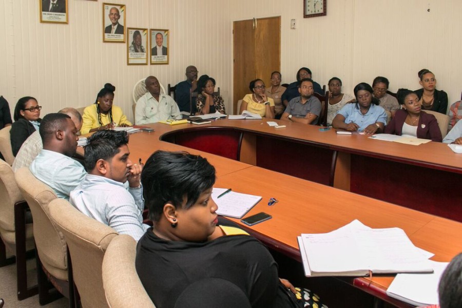
Presidential Advisor on the Environment Rear Admiral Rtd. Gary Best, on Wednesday August 31, 2016 presented the proposed Green Bartica Development and Land Use Plan (GBDLUP) to Minister with responsibility of Housing, Valerie Adams-Patterson and her staff.
Land Use Expert on the project, Mr. Charles Griffith, accompanied Mr. Best to the meeting which give a detailed insight into the plan which seeks to model Bartica as Guyana’s first green town.
Admiral Best in his presentation pointed out that the objective of the presentation was to put forward a consistent and integrated green plan that will generate policies that will eventually lead to the sustainable development of Bartica and its abundant natural resources. During his presentation, Best noted that the GBDLUP will serve as a road map for Bartica, which has been identified by President Granger as the model town.
This plan will create space for citizens to participate in decision making, which will ultimately shape policies for the coming years as the country as a whole moves towards green spaces, sustainable livelihoods, environmentally friendly practices and ultimately a green economy.
As Mr. Best went further into his presentation, he noted that in understanding the plan one must keep in mind Guyana’s over all thrust moving towards a green economy.
Referencing the Iwokrama Project and the most recent Low Carbon Development Strategy (LCDS), Mr. Best said Guyana has always been actively moving towards a green economy. The key elements of a green economy include, mainstreaming, alternative energies, managing and valuing natural capital, land use planning and consultation and awareness.
Meanwhile, Land Use Expert Charles Griffith during his presentation spoke of the blueprint which will be used for the modernisation and industrialization of Bartica. Griffith explained that the land use plan was formulated after a study of what already exist in Bartica, while consideration was given to several factors including plausible patterns of global and local outcomes.
The GBDLUP will see the town of Bartica being divided into North and South Bartica. Modernisation will take place through zoning in North Bartica and sustainable industrialisation, through zoning in South Bartica. Key aspects of modernisation include the construction of a modern sewer and waste water treatment system, retrofitting of current infrastructure, climate proofing of future development, the establishment of the following zones: industrial, residential, government, business, tourism, recreational, research and culture.
The zoning of South Bartica will see, green spaces, agricultural development, mining, agro processing factories and cattle rearing; all of which will carry a 70-30 ratio between the activity and the forest. In addition there is a proposal for a municipal airport with all modern amenities. Mr. Griffith also spoke at length of the manufacturing possibility for Bartica which is now approximately 68 sq. miles. In particular, Best pointed out that clean alternative energy supply is key to greening Bartica a Guyana’s model town and in this context the plan provides for Bartica to be supplied with energy from sources such as solar, water and bio-mass.
At the close of the presentation, Minister Patterson thanked Mr. Best and his team, noting that the CH&PA is committed to giving of its resources to aid in making the plan a reality. Also head of the Monitoring and Evaluation Unit, Ms. Germene Stewart also spoke of the Agency’s commitment to assist in the area of regional and national land use and management. In response to a part of the presentation which spoke to the lack of inadequate integrated planning and data management and sharing, Ms. Stewart pointed out that there is capacity for such in the context of sharing geo-spatial information. She outlined that there is an active geospatial website which facilitates data sharing specifically in the area of land use and management. While the infrastructure is there it is not being fully utilized, but will serve as an excellent medium through which data can be served in the executing the proposed green plan, which has a large component dealing with land use and management.
Already the plan has been presented the proposed Green Bartica Development Plan to the Bartica Town Council, Minister of State Joseph Harmon, the Minister of Communities, Ronald Bulkan, Commissioner and staff of the Guyana Lands and Surveys Commission and the Minister and staff of Agriculture. Further the proposed plan has been fully endorsed by the National Land Use Committee and the Bartica Town Council.
Source: MoC